In this article7 sections
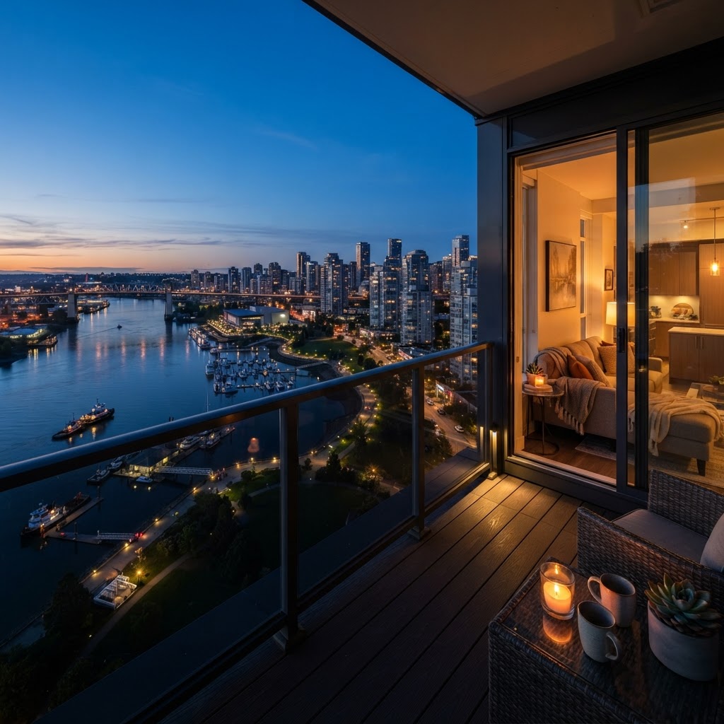
New Westminster is a small city with a lot of topography. Much of it is built on a steep slope that drops toward the Fraser River, Queensborough sits low and flat on the eastern tip of Lulu Island, and the river wraps around both. From the sidewalk, a lot of that context disappears. From a few hundred feet up, it is the first thing a buyer sees.
That is why drone photography for New Westminster listings can do real work, but only on the right properties. Here is how we decide when to fly in New West, what we look for in each neighbourhood, and how aerials fit alongside the rest of the listing.
What Aerials Show That Ground Photos Can't
A good aerial answers questions that buyers otherwise have to work out on a map:
- Where the home sits on the hill. In the West End, Glenbrook North and Brow of the Hill, a few blocks up or down the slope changes the outlook. An aerial makes the elevation and orientation obvious.
- How close the river is. For homes and townhomes near the waterfront, a single frame can show the Quay, the boardwalk and Westminster Pier Park in relation to the property.
- Transit and amenities. New Westminster has several SkyTrain stations in a compact area. A wider aerial can place a listing relative to the station, the high street or a school without a word of copy.
- Lot shape and outdoor space. On older lots with lanes, detached garages or deep backyards, the overhead view explains the property better than any ground-level angle.
Neighbourhood by Neighbourhood
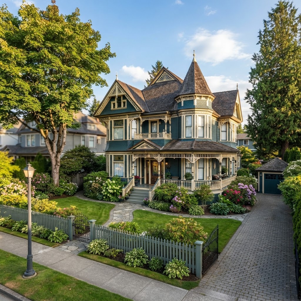
Queen's Park and Glenbrook North. These are tree-lined streets with character and heritage homes on established lots. Mature canopy can hide a house from above, so we plan lower, oblique angles that show the roofline and the street rather than straight-down shots of treetops. Aerials here usually play a supporting role to strong exterior and interior photography. Our guide to New Westminster heritage home photography covers the ground-level side of these shoots.
The West End and Connaught Heights. Mostly detached homes on a grid, many with views toward the river or across to Surrey. When a home has a view that is hard to capture from a window, a modest-height aerial looking out over the roof can show buyers what the upper floor sees.
Sapperton and the Brewery District. A mix of older homes, townhouses and newer towers near the hospital and the Brunette corridor. Helicopter traffic around the hospital is one reason we check airspace carefully before committing to a flight here.
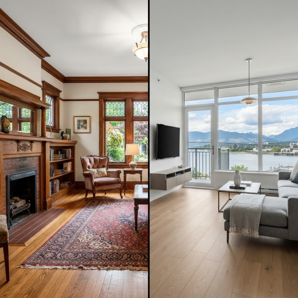
Downtown and the Quay. For condo listings, the building usually is not the seller's to show from above in detail, and a tower aerial can feel generic. Where drone helps is context: the river, the pier park and the walk to the station. For most condo units, we would put the budget toward strong interior and twilight photography first.
Queensborough. Flat, newer and surrounded by water on several sides. Ground photos of a Queensborough home rarely show how close the river is, which is exactly what an aerial does well. Larger lots and newer townhome complexes here also benefit from an overhead view of the layout.
Airspace and Rules: Plan Before You Promise
Not every address can be flown on short notice. Drone flights in Canada are governed by Transport Canada rules, and parts of Metro Vancouver fall within controlled airspace where a flight needs authorization from NAV CANADA before it can happen. Proximity to airports, heliports and hospital helipads, as well as crowds, roads and people who are not part of the shoot, all affect where and how we can fly.
In practice, that means:
- We check the address before confirming drone on a booking, so you are not promising aerials in your marketing that cannot be delivered.
- Some locations need extra lead time for authorization. If your listing date is tight, tell us early.
- We fly to capture the property and its context, not to look into neighbours' yards or windows.
When Drone Is Worth It, and When It Isn't
Drone tends to earn its place when the location is the selling point: river proximity, a view, a large or unusual lot, or a home whose position on the hill is a feature. It also helps for townhome and duplex listings where buyers want to understand the complex or the shared yard.
It is usually less useful for a mid-floor condo unit, a home on a lot fully covered by tree canopy, or a listing where the interior is the whole story. In those cases, HDR interiors, a floor plan and a 3D tour usually do more for the money. We would rather tell you that up front than add a service that will not move the listing.
Weather and Timing in New West
Coastal weather brings plenty of low cloud and rain, especially from late fall through winter. Drone is the most weather-sensitive part of a shoot: rain, wind and low ceilings all ground the aircraft and flatten the image. We schedule interiors at a fixed time and keep the aerial portion flexible, so a rainy morning does not hold up the whole listing. On clear days, late afternoon light on the slope facing the river can be very flattering, and aerials can often be paired with a twilight session.
Pairing Drone With the Rest of the Listing
Aerials work best as part of a set. A typical combination for a New Westminster detached home is HDR interior and exterior photography, a few aerials for context, and a floor plan so buyers understand the layout of an older multi-level house. You can see how we put these together on our drone photo and video service page and our New Westminster real estate photography page.
The Bottom Line
New Westminster's river, hills and compact layout give many listings a story that is best told from above. The key is choosing the right properties, checking airspace before you promise aerials, and leaving room in the schedule for the weather.
If you are listing in New West and want to know whether drone makes sense for your property, book your shoot online and add a note about the address. We will confirm what is possible before the shoot day.

Written by
RealtyShot
Real estate photography, 3D tours, drone and video for agents across Metro Vancouver. Based in North Vancouver and shooting from Vancouver to the Fraser Valley for 5+ years.
Book with RealtyShot
Ready to book your shoot?
Pick a package or individual services, choose a time and get an instant price in the booking portal.
Packages from $299
30% OFF30% off for everyone, extra 20% on your first order 604-600-1317